
MUFSD
Fact Sheet #5
October 2017
Fact Sheet 4
October 2017
Fact Sheet # 3
October 2017
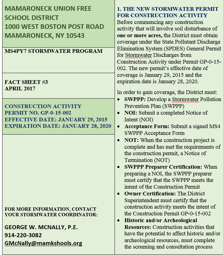
Fact Sheet #3 (Apr 2017)
MUFSD
Fact Sheet #6 (Nov 2016)
Fact Sheet #5 (Dec,2015)
Fact Sheet #4 (Dec,2015)
Fact Sheet #6
MUFSD
Fact Sheet #5
MUFSD
Fact Sheet #4
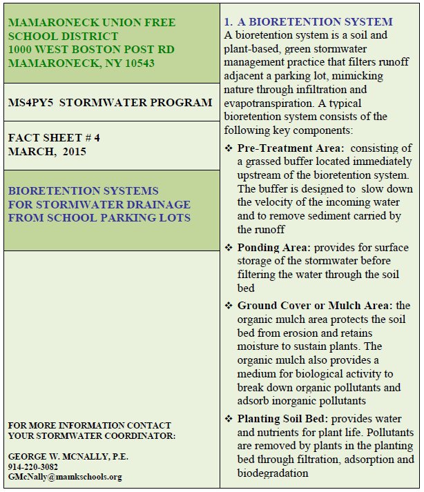
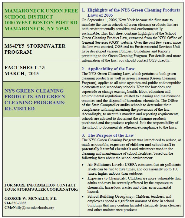
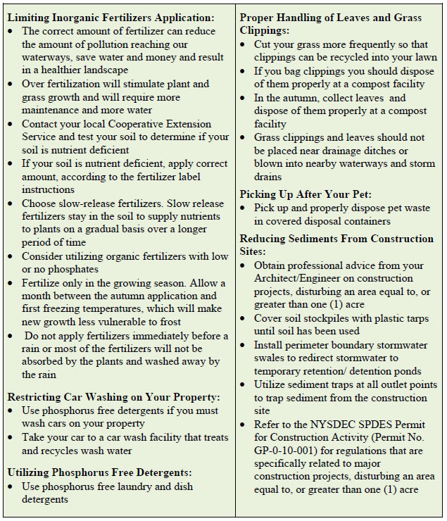
MUFSD
Fact Sheet #3
MUFSD
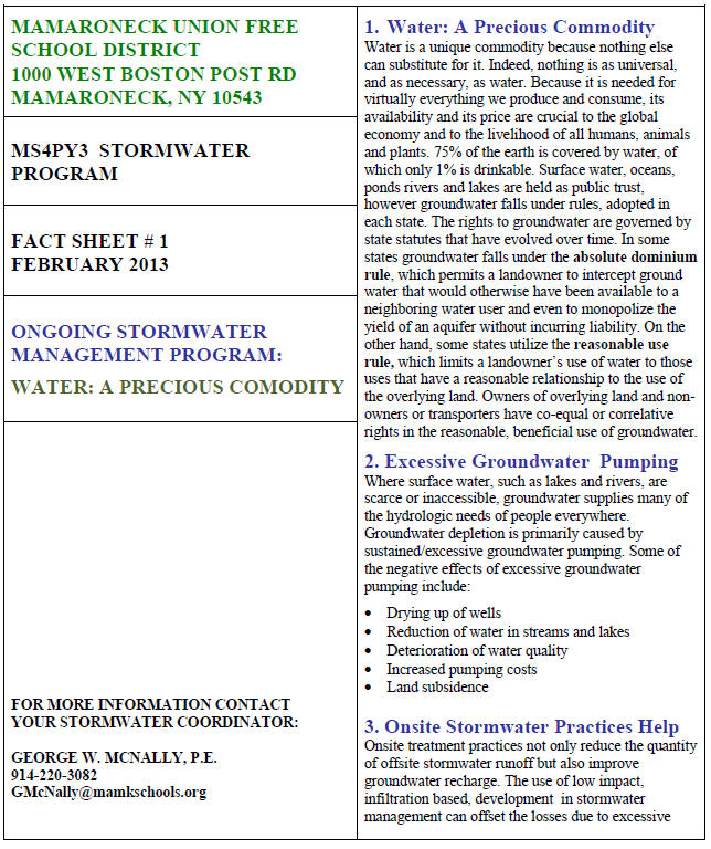
Fact Sheet #1
MUFSD
Fact Sheet #2
MUFSD
Fact Sheet #3
January 2014
MUFSD
Fact Sheet #4
April 2014
MUFSD
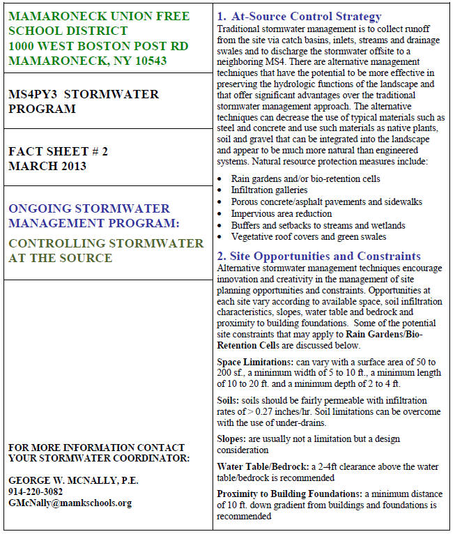
Fact Sheet #1
MUFSD
Fact Sheet #2
MUFSD
Fact Sheet #3
MUFSD
Fact Sheet #4
MUFSD
Fact Sheet #1
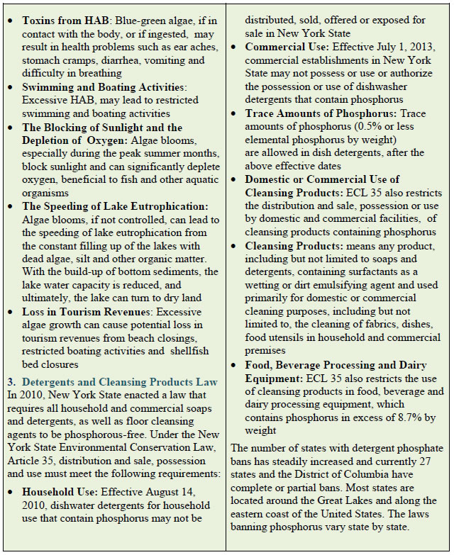
THE POLLUTANTS OF CONCERN
The pollutants of concern in the in the Mamaroneck Basin and the Long Island Sound are:
· Nitrogen
· Pathogens
· Floatables
· Silt/sediment
Of the above listed pollutants, nitrogen is the primary POC. The new regulations require an ongoing public education and outreach program designed to reduce the impacts of the above POCs from stormwater and non-stormwater discharges to the Mamaroneck and Long Island Sound Watershed to the maximum extent practicable (MEP).
SOURCES OF POCs
Nitrogen occurs abundantly in soil water and the air, as well as from all plants and animal material, fertilizers and overflowing septic systems. Pathogens are generally derived from overflowing septic systems, geese and pet waste. Floatables and debris may be found in school yards, recreational areas and parking lots. Silt and sediment usually occurs from construction activity and from sand left over from de-icing winter operations.
Potential pollution sources at the District are:
· Trash Containment Areas
· Construction Activity
· Pet Waste
· Driveways and Parking Lots
· Recreational and Athletic Fields
IMPACTS ON NEARBY WATERS
Hypoxia is a common occurrence in the Long Island Sound bottom waters when an overabundance of nitrogen fuels excessive growth of algae, especially during the summer months. Excessive algal blooms cause a depletion of sunlight, decreased water clarity, large swings in dissolved oxygen, disagreeable odors, aquatic habitat loss and fish kills.
Pathogens, which cause drinking water to be unfit for human consumption, are the leading causes of cholera and other water borne diseases, and may also lead to frequent beach closings due to high bacterial counts.
Floatables such as tires, plastics and metal containers contribute to storm drainage flow interruption, piping blockages and flooding and overflowing waterways. In recent studies, it has been reported that ingested plastics and other debris are becoming a serious threat to the well being, and in many cases, the cause of death to birds, marine mammals and fish.
IDENTIFICATION OF POLLUTION SOURCES
Fact Sheet # 2 will identify District operations that could impact stormwater quality and will discus steps that can be taken by the District to reduce pollution from various potential pollution sources.
Posted 12/1/08
MUFSD
Fact Sheet #2
THE POLLUTANTS OF CONCERN
The pollutants of concern in the in the Mamaroneck Basin and the Long Island Sound are:
· Nitrogen
· Pathogens
· Floatables
· Silt/sediment
As a part of the new regulations, the District must develop an ongoing public education and outreach program designed to reduce the impacts of the above POCs from stormwater and non-stormwater discharges on the Mamaroneck and Long Island Sound Watersheds to the maximum extent practicable (MEP).
POTENTIAL SOURCES OF POCs
Controlling POC releases at their sources and preventing their wider release is more efficient and cost-effective than removing them from the stormwater runoff. The potential sources of POCs at the MUFSD are:
· Trash Containment Areas
· Construction Activity
· Pet Waste
· Driveways and Parking Lots
· Recreational and Athletic Fields
TRASH CONTAINMENT AREAS
The District should adopt a Pollution Prevention Policy that requires O & M Staff and outside Sub-Contractors to be responsible for removing litter, and sweeping all areas around trash containment areas of organic debris, sediment and litter. Wash water used to clean areas should be collected and disposed off into a sanitary drain and not nearby storm drains. If current trash containment areas drain stormwater into storm drains, they should be retrofitted with a catchment curb to drain water into a sump that can be collected and pumped into a sanitary storm drain or other appropriate disposal system.
CONSTRUCTION AND POST-CONSTRUCTION ACTIVITIES
The District has adopted a Construction-Related Activity policy and procedures document to address all construction activity at the site as follows:
· All land disturbance in construction and post-construction sites greater than or equal to one (1) acre, shall be constructed in accordance to New York Standards and Specifications for Erosion and Sediment Control
· All land disturbance for sites greater than or equal to one (1) acre will include Storm Water Pollution Prevention Plans (SWPPPs) prepared and reviewed by design professionals in accordance to NYSDEC regulations
PET WASTE COLLECTION AND MANAGEMENT
The District should adopt a Pollution Prevention Policy that restricts pets from walking on campus property during and after school hours. Animal waste contributes nitrogen, phosphorus and harmful bacteria/pathogens to local waters.
DRIVEWAYS AND PARKING LOTS SWEEPING
The District should adopt a Pollution Prevention Policy that requires paved area sweeping twice a year, in the Fall and in the Spring. Street sweeping will remove sediment buildup and large debris from curb gutters. Street sweeping will also remove road salt and sand left over from de-icing winter operations and reduces silting and chemical contamination of local waters.
RECREATIONAL AND ATHLETIC FIELDS
The District should adopt a grounds management program that addresses:
· Application of fertilizer: is only allowed following soil testing and analysis documenting need for fertilizers
· Grass Clippings: that are collected shall be disposed in a compost pile or proper containment device
· Leaves: that are collected shall be disposed in a compost pile or proper containment device
· Curbside lawn waste management policy: shall be removed promptly to ensure that lawn waste does not decay and release nitrogen into the nearby storm sewer system
· Landscaping: planting of water gardens and shrubs are encouraged to reduce mowing and application of chemicals
Reduced use of fertilizers and the proper disposal of grass clippings and leaves will decrease both phosphorus and nitrogen to local waters.
Posted 12/1/08
MUFSD
Fact Sheet #3
"WATER-WISE" AND CONSERVE WATER
Water is our most precious natural resource, without it life ceases. Yet, judging by our water use and consumption practices, many of us take it for granted. It has been reported by the USEPA that a typical household uses approximately 260 gallons of water per day. According to the U.S. Geological Survey[1], of the 26 billion gallons of water consumed daily in the United States, approximately 7.8 billion gallons, or 30 percent[2], is devoted to outdoor uses. The majority of this, reportedly, was used for landscaping.
Utilizing lots of water for our household uses, increases the amount of wastewater being discharged to our wastewater treatment plants and/or on-site septic treatment systems.
Observing the following few simple guidelines in the garden, kitchen, bathroom and laundry room will help conserve this precious commodity.
WATER-WISE LANDSCAPING
· Water less so that grass roots go deeper into the soil and weeds growing in the top few inches of soil dry out and die[3]. Too much water promotes weak growth and increases mowing requirements
· Mow your lawn less frequently. This lowers the rate of evaporation
· Limit planting to native and low-water-use plants
· Use of mulches aid in greater water retention, moderating soil temperatures and preventing sediment erosion
· Do all your watering early in the morning or late in the evening to prevent evaporation during the hotter afternoon hours
IN THE KITCHEN
- Scrap dishes well before washing or rinsing
- Fill the sink with warm soapy water for washing dishes, and use a second sink, or container, of clear water for rinsing, to avoid the tap water from running needlessly during dish washing
- Run the dishwasher only when full
- Consider replacing old dishwashers with new water-saving dishwashers
IN THE BATHROOM
- Consider showering, which uses less water than bathing
- New low-flow showerheads can save 1-2 gallons per minute
- Installing a simple shower timer will alert you when your 5 minutes are up
- Check leaking toilets and get them replaced
- Replace old toilets, which use 6 gallons per flush with new toilets which only use 1.5 gallons per flush
- Check faucets and faulty fixtures for leaks and replace worn washers, o-rings and packing
- Insulate hot water pipes as water is wasted while you are waiting for hot water to start running in the shower
IN THE LAUNDRY ROOM
- High efficiency washers use about 23 gallons of water per load, as compared to 41 gallons used by old models[4]
- Use shorter cycles for lightly soiled loads
- Only run washer when it is full
[1] W.B.Solley, R.R. Pierce and H.A.Perlman. 1998. Estimated Use of Water in the United States in 1995 (USGS Circular 1200). USGS. Rston, VA. P. 27.
[2] Amy Vickers. 2001. Handbook of Water Use and Conservation. WaterPlow Press. Amherst, MA. P. 140
[3] Waterwiseer.org 1999American Water Works Association
[4] ENERGY STAR U.S. DOE/EPA
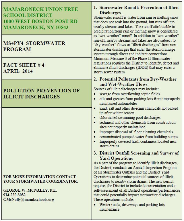
MUFSD
Phase II Storm Water Program
Fact Sheet #4
Pollution Prevention of Illicit Discharges
STORM WATER RUNOFF: ILLICIT DISCHARGES
Stormwater is water from rain or melting snow that does not soak into the ground, but runs off into nearby streams and lakes. The runoff attributable to precipitation from rain or melting snow is considered as “wet-weather” runoff. In addition to “wet-weather” run-off, nearby streams and lakes are also subject to “dry-weather” flows or “illicit discharges” from non-stormwater discharges that enter the storm drainage system through direct and indirect connections. Sources of illicit discharges include: sanitary wastes, effluent from septic tanks and overflowing septic fields, car wash discharges, improper oil disposal, radiator flushing disposal, laundry wastewaters, leakages from improperly maintained automobiles, chlorinated swimming pool discharges, improper disposal of auto and household toxics.
STORMWATER DRAINAGE MAPPING
In order to address any illicit discharges that may exist from direct and indirect connections (illicit discharges) to the campus storm drainage system, MUFSD will develop a campus-wide drainage map for the Mamaroneck High School and the Hommocks Middle School. This map will document the campus stormwater drainage system at these schools, identify areas in need of stormwater retrofits, locate sensitive areas such as wet lands and identify the location of all outfalls.
MAPPING PROJECT
The stormwater mapping project will include three basic elements as follows:
· Element One will include the development of an overall base map, identifying the campus property boundaries and building structures
· Element two will include the development of a topographic map, identifying the extent of drainage, wetlands and streams that run through the campus
· Element three will include the development of storwater drainage map, locating current stormwater drainage system and key points of discharge
The sewer mapping project at the two school properties will be initiated in April 2007 (Permit Year 4) and will be completed by December 2007 (Permit Year 5).
STORM DRAIN STENCILING
After storm drainage mapping has been completed, the District will undertake storm drain stenciling of all identified manholes, catch basins curb inlets and field stake key points of discharge at the High School and the Middle School. This task will be carried out by Operations and Maintenance (O &M) Staff with assistance, as available, from MUFSD students and staff.
IDENTIFICATION OF POTENTIAL ILLICIT DISCHARGES
As a part of the program to identify illicit discharges, the District, with assistance from the O &M Staff, will conduct a field survey of all the buildings and grounds, located at the High School and the Middle School to identify non-stormwater discharges, such as foundation drains, footing drains, overflowing septic flows, improper oil and chemical disposal, chlorinated swimming pool discharges and any other discharges that may be connected to the storm drain system.
This information will be compiled and evaluated to determine if the building drains are discharging uncontaminated water and/or if these discharges should be redirected away from the storm sewer drains.
The District will also establish an Annual Inspection Program of all Building Discharges and assign roles, responsibilities and training needs, relative to the Annual Inspection Program for illicit discharges.
O & M STAFF TRAINING
As part of the pollution prevention campaign on illicit discharges, the District will undertake a training program for the O & M Staff. The training program will include the distribution of educational materials on the proper handling and disposal of solid waste and non-stormwater discharges from vehicle operations, physical plant maintenance and landscaping and grounds care.
MUFSD
Phase II Storm Water Program
Fact Sheet #5
Land Disturbance
NATURAL LAND DISTURBANCE
Land erosion takes place by the wearing away of the surface of the land by the action of the wind, water, snow, ice and gravity. Natural or geologic erosion occurs over a long period of time, resulting in the wearing away of mountains and the building of flood plains to create the topography we know today.
ACCELERATED LAND DISTURBANCE
Accelerated land erosion is primarily the result of the influence of human activities on the environment such as from construction-related activities i.e. building of new schools, addition of new parking areas and recreational fields. Once soil is disturbed, the unprotected soil is then subject to rapid erosion by the action of wind, rain snow and ice.
STORMWATER: EROSION AND SEDIMENT ACTION
As noted above, land erosion can be caused by water, wind, ice and gravity. The focus of this fact sheet is directed at erosion caused by stormwater runoff. Rain drops initiate the process of erosion. Initially, individual soil particles are disturbed and transported by the splashing water. This action is typically followed by sheet erosion, which is the removal of a thin layer of soil from the land surface caused by shallow sheets of water running off the land. In some cases, rill erosion develops, as the shallow surface flows begin to concentrate in low spots and irregularities of the land. Gully erosion occurs when the flows in the rills come together to form larger channels. Channel erosion is the result of a larger volume of runoff and greater velocity in the drainage channels causing movement of the stream bed and bank materials. When rainfall events occur near shorelines, shoreline erosion may occur from the surging of the stormwater runoff onto the coast line and estuarine shorelines.
FACTORS INFLUENCING EROSION POTENTIAL
The erosion potential of any area is determined by four principal factors: soil characteristics, vegetative cover such as grassed areas or planting beds, topography and rainfall intensity. The erosion potential is higher from fine sands and silts than from gravel and course sands. Vegetative cover will reduce erosion and greater erosion will occur from higher intensity, frequent and longer duration rainfall events.
LAND USE CHANGES DEVELOPMENT
Reshaping of the land during construction or development alters the soil cover, often detrimentally affecting on-site drainage and stormwater runoff patterns. Construction-related activities affect erosion by:
· Removing the existing vegetative cover
· Prolonging the exposure of unprotected disturbed areas
· Increasing the impervious surfaces by compaction during construction
· Modifying drainage areas and topography of the land
PHASE II STORMWATER REGULATIONS
Phase II stormwater regulations deal with erosion and stormwater runoff from construction sites disturbing over one acre of soil. Under these regulations, a construction permit and a stormwater pollution prevention plan must be developed and submitted to the State for approval, before any construction can be initiated if the project will disturb more than one acre of soil. In addition all construction activities must be inspected by a licensed professional to ensure that the construction complies with the approved stormwater pollution prevention plan.